Tourism Association Gsiesertal Valley-Welsberg-Taisten in South Tyrol
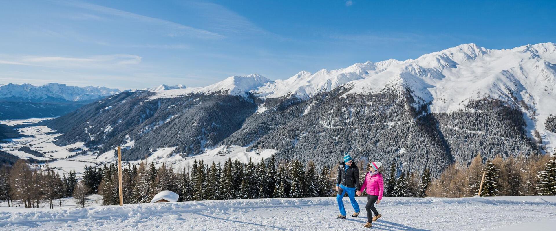
  • winterwandern-tg-gsiesertal-harald-wisthaler
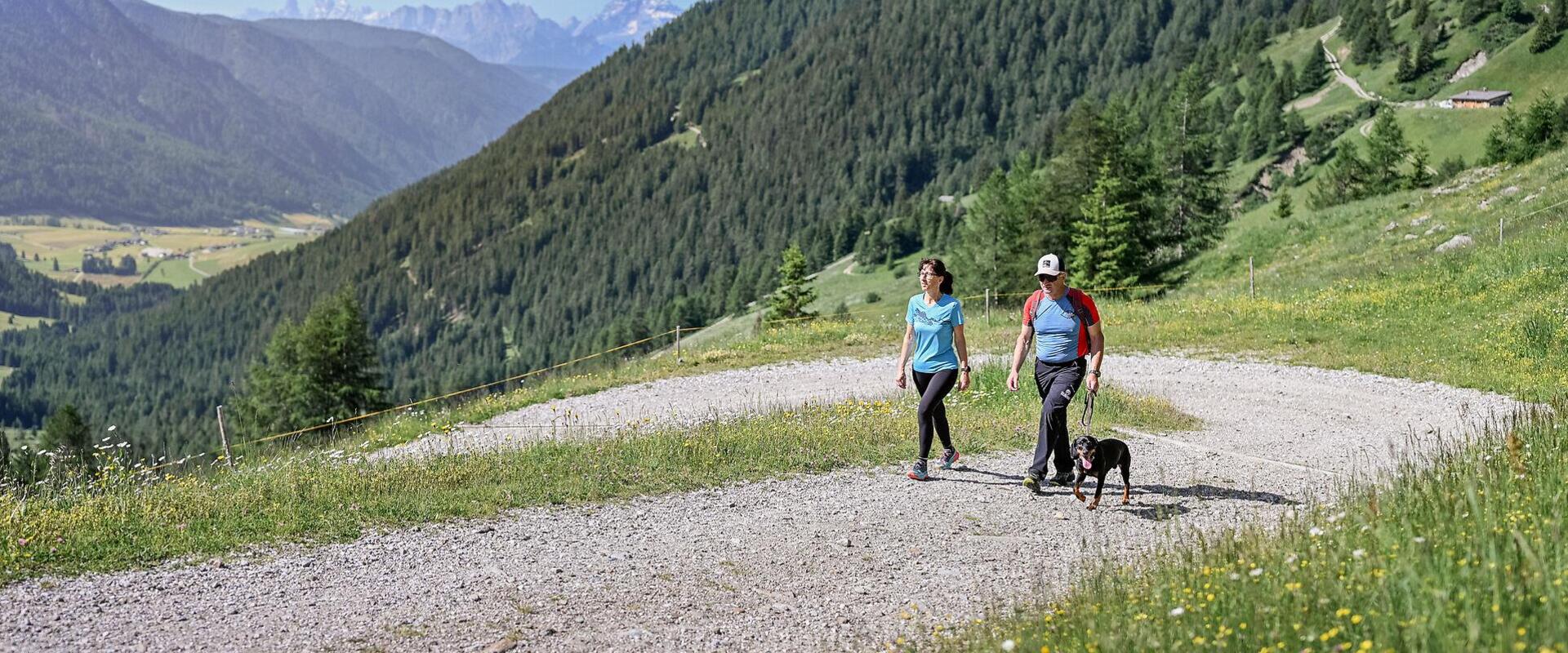
  • Two hikers with a dog on the forest road towards the Oberbergalm, surrounded by alpine meadows, forests and mountains
Stop. Savour. Move on.

Alpine Huts and Mountain Inns in Gsiesertal Valley-Welsberg-Taisten

Hike from alpine pasture to alpine pasture, stopping at mountain huts along the way.

In Gsiesertal Valley-Welsberg-Taisten, alpine pasture hikes lead through woodlands, meadows and wide-open mountain pastures to traditional alpine huts serving food and refreshments. Some huts are destinations in their own right, while others lie along routes leading to high-altitude trails and mountain summits. On the Gsieser Almweg 2000 trail, walking from one alpine hut to another becomes an experience in itself.

There's a choice of gentler alpine pasture walks and longer, more demanding hikes with greater elevation gain. Walking time, elevation gain, difficulty, season and current conditions will help you choose the right route

And sometimes, the alpine hut along the way is the loveliest reason to stop for a while.

Our alpine pasture hikes at a glance
The Kradorfer Alm Hut in the Gsiesertal Valley  1704 m
distance 3.4 km
divider
time 1:10 h
divider
elevation 240 hm
open Open
Light
The Kradorfer Alm Hut in the Gsiesertal Valley 1704 m
starting-point
Starting point: Gsiesertal Valley – St. Magdalena, Head of the Valley
ending-point
Arrival point: Kradorfer Alm mountain hut, Gsiesertal Valley – St. Magdalena
The refuge Bonnerhütte hut in Toblach 2340 m
distance 10.2 km
divider
time 4:43 h
divider
elevation 1380 hm
open Open
Hard
The refuge Bonnerhütte hut in Toblach 2340 m
starting-point
Starting point: Various entry points possible
ending-point
Arrival point: Mountain shelter Bonnerhütte, Toblach
The Hochrautalm hut in Taisten 1643 m
distance 1.8 km
divider
time 0:36 h
divider
elevation 123 hm
open Open
Light
The Hochrautalm hut in Taisten 1643 m
starting-point
Starting point: Taisten, Parking lot above restaurant Mudlerhof
ending-point
Arrival point: Hochrautalm mountain hut, Taisten
The Houfa Hitte hut in the Gsiesertal Valley 1883 m
distance 4.5 km
divider
time 1:37 h
divider
elevation 395 hm
open Open
Light
The Houfa Hitte hut in the Gsiesertal Valley 1883 m
starting-point
Starting point: Gsiesertal Valley – Pichl, Schintlholz
ending-point
Arrival point: Houfa Hitte mountain hut, Gsiesertal Valley – Pichl
The Kaser Alm hut in the Gsiesertal Valley 2076 m
distance 4.9 km
divider
time 2:0 h
divider
elevation 628 hm
open Open
Medium
The Kaser Alm hut in the Gsiesertal Valley 2076 m
starting-point
Starting point: Gsiesertal Valley – St. Magdalena, Head of the Valley
ending-point
Arrival point: Kaser Alm mountain hut, Gsiesertal Valley – St. Magdalena
The Oberbergalm in the Gsiesertal Valley 1975 m
distance 5.0 km
divider
time 1:51 h
divider
elevation 498 hm
open Open
Medium
The Oberbergalm in the Gsiesertal Valley 1975 m
starting-point
Starting point: Gsiesertal Valley – St. Magdalena, Head of the Valley
ending-point
Arrival point: Oberbergalm mountain hut, Gsiesertal Valley – St. Magdalena
The Messnerhütte hut in the Gsiesertal Valley 1660 m
distance 3.1 km
divider
time 1:0 h
divider
elevation 199 hm
open Open
Light
The Messnerhütte hut in the Gsiesertal Valley 1660 m
starting-point
Starting point: Gsiesertal Valley – St. Magdalena, Head of the Valley
ending-point
Arrival point: Messnerhütte mountain hut, Gsiesertal Valley – St. Magdalena
The Randlhütte hut in the Gsiesertal Valley 1862 m
distance 4.1 km
divider
time 1:58 h
divider
elevation 585 hm
open Open
Medium
The Randlhütte hut in the Gsiesertal Valley 1862 m
starting-point
Starting point: Gsiesertal Valley – St. Martin, Village Centre
ending-point
Arrival point: Randlhütte mountain hut, Gsiesertal Valley – St. Martin
The Stumpfalm hut in the Gsiesertal Valley 2000 m
distance 5.2 km
divider
time 1:45 h
divider
elevation 535 hm
open Open
Medium
The Stumpfalm hut in the Gsiesertal Valley 2000 m
starting-point
Starting point: Gsiesertal Valley – St. Magdalena, Head of the valley
ending-point
Arrival point: Stumpfalm mountain hut, Gsiesertal Valley – St. Magdalena,
The Taistner Alm hut in Taisten 2012 m
distance 4.1 km
divider
time 1:29 h
divider
elevation 381 hm
open Open
Light
The Taistner Alm hut in Taisten 2012 m
starting-point
Starting point: Taisten, Parking lot above restaurant Mudler
ending-point
Arrival point: Taistner Alm mountain hut, Taisten
The Uwald Alm hut in the Gsiesertal Valley 2042 m
distance 4.7 km
divider
time 2:0 h
divider
elevation 583 hm
open Open
Medium
The Uwald Alm hut in the Gsiesertal Valley 2042 m
starting-point
Starting point: Gsiesertal Valley – St. Magdalena, Head of the Valley
ending-point
Arrival point: Uwald Alm mountain hut, Gsiesertal Valley – St. Magdalena
The Ascht Alm hut in the Gsiesertal Valley 1950 m
distance 4.6 km
divider
time 1:30 h
divider
elevation 522 hm
open Open
Light
The Ascht Alm hut in the Gsiesertal Valley 1950 m
starting-point
Starting point: Gsiesertal Valley – St. Magdalena, parish church
ending-point
Arrival point: Ascht mountain Hut Gsiesertal Valley – St. Magdalena
The Tolder Hütte hut in the Gsiesertal Valley 1942 m
distance 4.6 km
divider
time 2:13 h
divider
elevation 657 hm
open Open
Medium
The Tolder Hütte hut in the Gsiesertal Valley 1942 m
starting-point
Starting point: Gsiesertal Valley – St. Martin, Village Centre
ending-point
Arrival point: Tolder Hütte mountain hut, Gsiesertal Valley – St. Martin
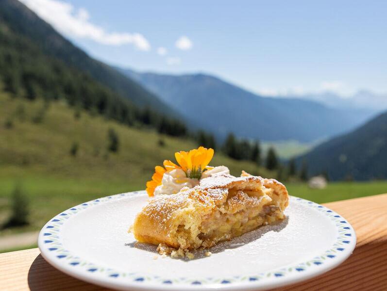
Apple strudel on the Oberbergalm terrace overlooking the Gsiesertal valley in summer
Reached the alpine hut?
For many alpine pasture hikes, stopping for something to eat is part of the experience. Find out what's on the menu, which products are homemade and which huts are currently open on our alpine hut cuisine page.
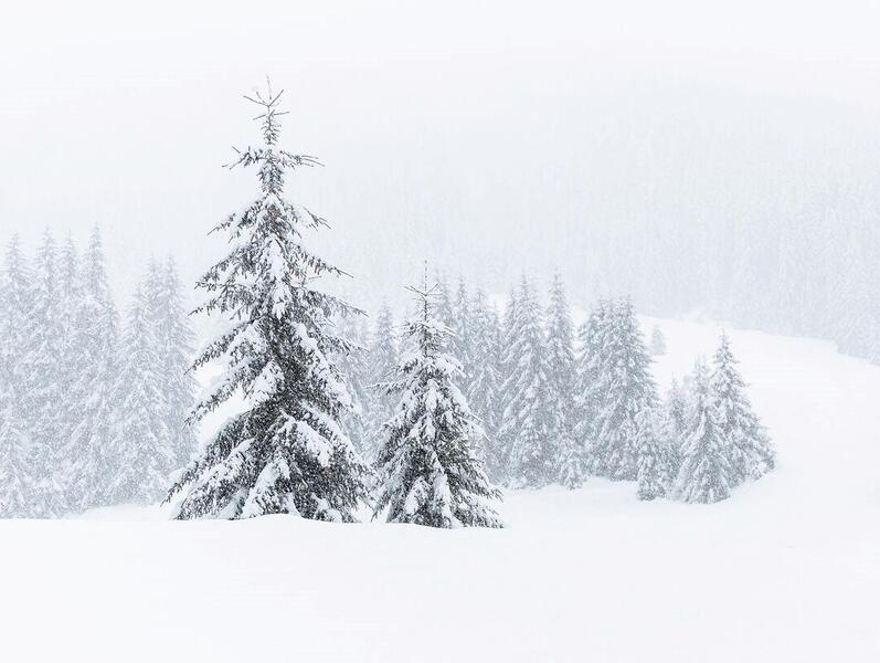
landschaft-winter-tg-gsiesertal-kamilla-photography-3
When can you hike to the alpine huts?
Whether a trail is accessible depends largely on altitude, snow cover and weather conditions. In spring, higher routes may still have wintry conditions, while autumn can bring early snowfall and shorter days. In winter, only follow designated routes or trails that are suitable for the current conditions.
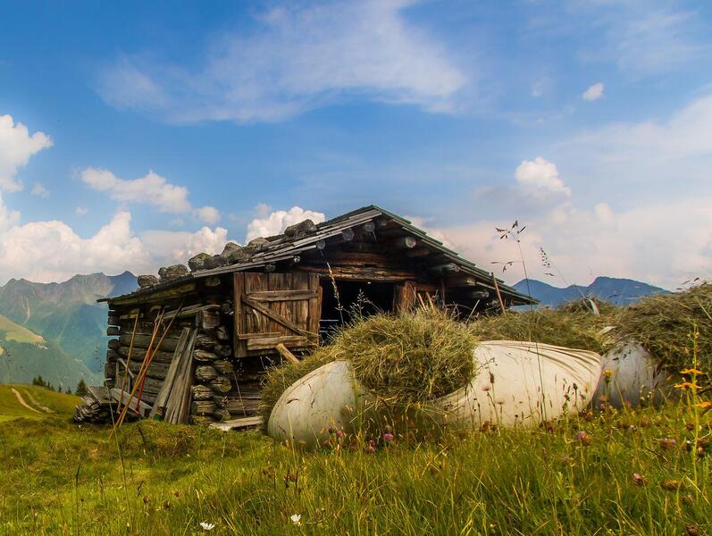
Traditional wooden hay barn on the Pfinnalm surrounded by the summer mountain landscape
More than just a hiking destination
For generations, alpine pastures have been part of the region's working mountain landscape. Paths, grazing land and huts still tell the story of how closely farming and mountain life are connected. When you hike up to the alpine pastures, you're not simply walking through beautiful scenery. You're entering a natural and cultural landscape that is still actively used, cared for and maintained today.
Frequently asked questions about alpine huts
heart decoration