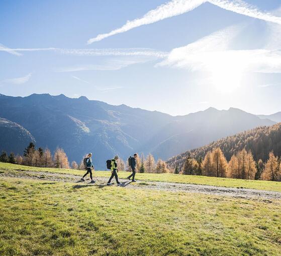
Tourism Association Gsiesertal Valley-Welsberg-Taisten in South Tyrol
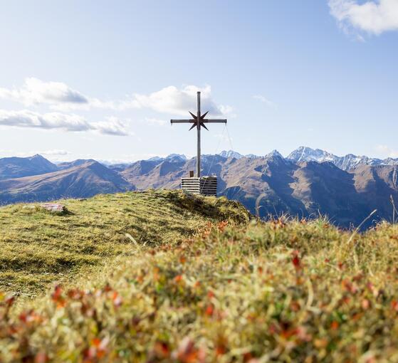
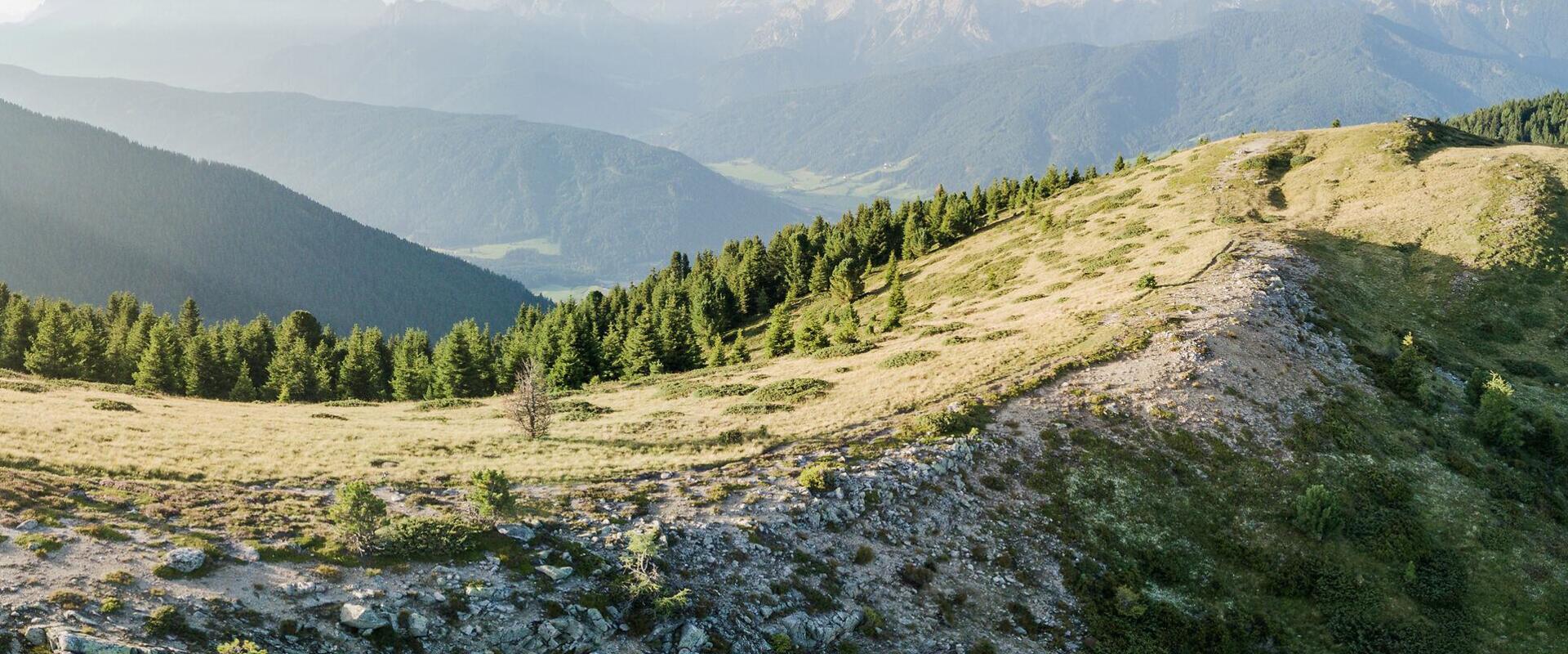
  • Mountain landscape on the Lutter Durakopf in Taisten with sweeping panoramic views
Time for great mountain adventures

Long-distance hiking trails in Gsiesertal Valley-Welsberg-Taisten

Long days on the trail, surrounded by mountains.

The long-distance hiking trails in Gsiesertal Valley-Welsberg-Taisten lead along panoramic high-altitude paths, through alpine pastures and into higher mountain terrain. Routes range from extended day hikes and mountain traverses to trails that can be divided into several stages.

Longer walks give you time to immerse yourself in the mountain landscape, pass through different natural environments and experience Gsiesertal Valley on foot, one stretch at a time.


Gsieser Almweg 2000 – At the heart of long-distance hiking

The Gsieser Almweg 2000 is one of the most scenic high-altitude trails in Gsiesertal Valley. Stretching for around 26 kilometres, it connects numerous alpine huts serving food between St. Martin and St. Magdalena, crossing the mountain landscape at an altitude of approximately 2,000 metres.
With several access and descent routes, the trail can be divided into three stages  – ideal if you'd rather not walk the entire route in a single day.
The three stages of the Gsieser Almweg 2000 at a glance
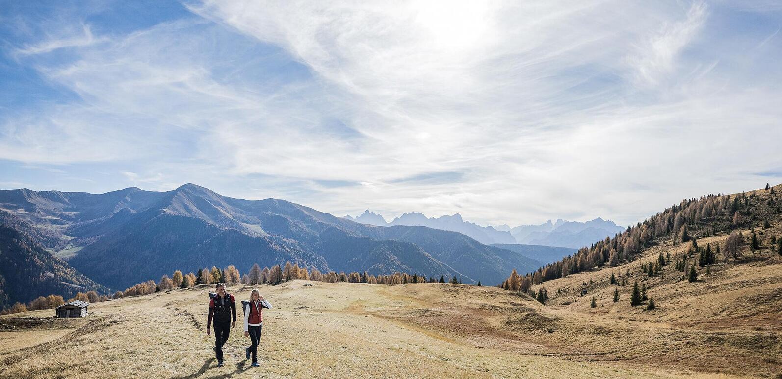
Couple hiking towards Hörneckele in autumn, surrounded by alpine meadows, a wooden barn and orange-coloured trees against the mountain landscape.
St. Martin – Hörneckele – Ascht Alm
From Hörneckele via Pfinnalm to Ascht Alm: 17.3 km, approximately 6 hours and 600 m of elevation gain. A moderately difficult hike through the traditional mountain landscape between St. Martin and St. Magdalena.
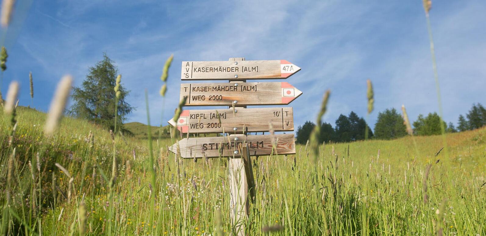
Wooden signpost framed by summer alpine meadows and mountain scenery. To the right: Kasermähder Alm and Kasermähder Alm Weg 2000; to the left: Kipfl Alm Weg 2000, 10 minutes, and Stumpfalm.
St. Magdalena – Tscharnietalm – Uwald Alm
From Tscharnietalm via Kaser Alm and Stumpfalm to Uwald Alm: 16.7 km, approximately 5 hours 24 minutes and 983 m of elevation gain. A moderately difficult hike passing three alpine huts serving food along the way.
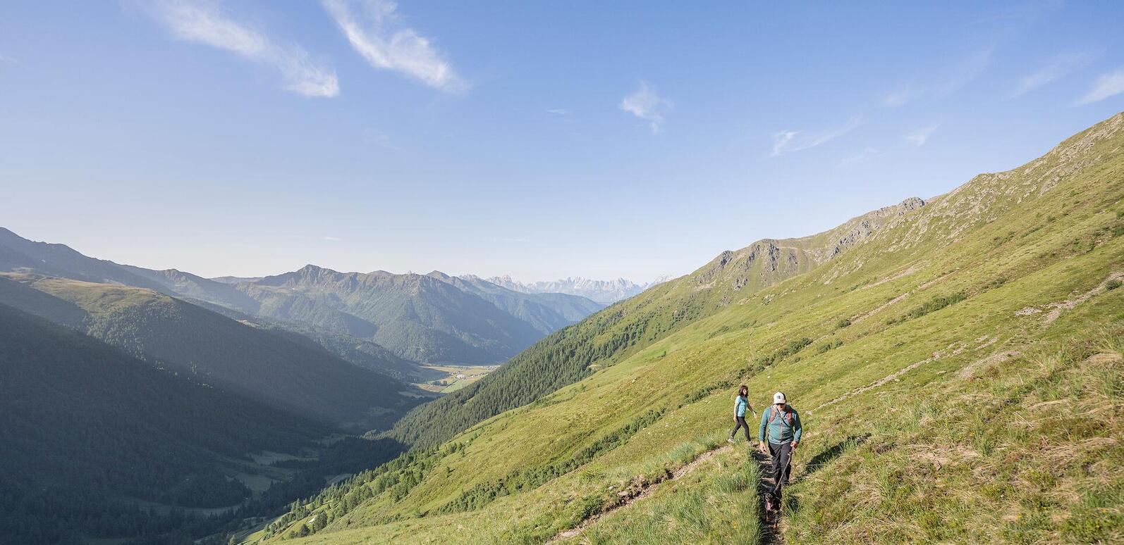
Two hikers with a dog on a trail near the Weißbachalm, overlooking the Gsiesertal valley and surrounding mountains
St. Magdalena – Gsieser Törl – Weißbachalm
From Gsieser Törl (2,205 m) to Weißbachalm: 16 km, approximately 5 hours 15 minutes and 1,000 m of elevation gain. A moderately difficult hike with sweeping panoramic views along the high-altitude trail.
Discover long-distance hiking trails
Beyond the Gsieser Almweg 2000, you'll find other long hikes and scenic high-altitude trails, including the Bonner Höhenweg, Alpini Steig, the cross-border hike over Hochkreuz and the Talblickweg. Explore the route overview to find the right trail for your next mountain adventure.
10 Results
open
open
filter Filters
10 Results
Gsieser Almweg 2000
open Open
distance 16.7 km
divider
time 5:24 h
divider
elevation 983 hm
Medium
The Almweg 2000 trail in the Gsiesertal Valley: stage across the alpine huts Tscharnietalm-Kaser Alm-Stumpfalm-Uwald Alm
starting-point
Starting point: Gsiesertal Valley – St. Magdalena, Head of the valley
ending-point
Arrival point: Gsiesertal Valley – St. Magdalena, Head of the valley
Römerweg
open Open
distance 15.8 km
divider
time 4:56 h
divider
elevation 779 hm
Medium
The Roman Path Römerweg in Welsberg
starting-point
Starting point: Welsberg, tourist information office
ending-point
Arrival point: Toblach
The path across the cols
open Open
distance 9.6 km
divider
time 4:30 h
divider
elevation 870 hm
Medium
The path across the cols
starting-point
Starting point: Gsiesertal Valley – St. Magdalena, Head of the valley
ending-point
Arrival point: Kalkstein (Austria)
Wandern Sommer 2019 ©TV Gsieser Tal_Harald Wisthaler_3378
open Open
distance 24.1 km
divider
time 8:7 h
divider
elevation 1666 hm
Hard
Long-distance hiking trail: Bonner Höhenweg and Toblacher Pfannhorn 2663 m
starting-point
Starting point: Gsiesertal Valley – St. Magdalena, Head of the valley
ending-point
Arrival point: Gsiesertal Valley – St. Magdalena, Head of the valley
Hochkreuz Sommer 2019 ©TG Gsiesertal_Harald Wisthaler
open Open
distance 21.9 km
divider
time 7:49 h
divider
elevation 1876 hm
Hard
Long-distance hiking trail: Alpini Steig in the Gsiesertal Valley
starting-point
Starting point: Gsiesertal Valley – St. Magdalena, Head of the valley
ending-point
Arrival point: Gsiesertal Valley – St. Magdalena, Head of the valley
Wandern Sommer 2019 ©TG Gsiesertal-Welsberg-Taisten - Harald Wisthaler
open Open
distance 17.4 km
divider
time 6:1 h
divider
elevation 1332 hm
Medium
Long-distance hiking trail: Circular hiking trail along the borders in the Gsiesertal Valley
starting-point
Starting point: Gsiesertal Valley – St. Magdalena, Head of the valley
ending-point
Arrival point: Gsiesertal Valley – St. Magdalena, Head of the valley
Gsieser Almweg 2000
open Open
distance 26.6 km
divider
time 8:40 h
divider
elevation 1619 hm
Medium
The Almweg 2000 trail in the Gsiesertal Valley
starting-point
Starting point: Gsiesertal – St. Martin
ending-point
Arrival point: Gsiesertal –St. Magdalena, Head of the valley
The Talblickweg - View-over-the-Val Casies Valley route
open Open
distance 34.0 km
divider
time 9:47 h
divider
elevation 1033 hm
Light
The Talblickweg path in the Gsiesertal Valley
starting-point
Starting point: Various entry points possible
ending-point
Arrival point: Circular route back to starting point
Mountain hike Hörneckele
open Open
distance 17.3 km
divider
time 5:32 h
divider
elevation 976 hm
Medium
Gsiesertal Valley Almweg 2000 path: Stage Hörneckele, Pfinnalm, Ascht Alm
starting-point
Starting point: Gsiesertal – St. Martin
ending-point
Arrival point: Gsiesertal – St. Magdalena
« ‹ 1 2 › » 10 items on 2 pages, displayed items 1-9
Well prepared for the trail

Good planning makes a long-distance hike a rewarding experience in nature.

  • Plan your stages and return journey in advance. Check walking time, elevation gain and difficulty, and take note of where each route starts and finishes.
  • Pack plenty of water and food, weatherproof clothing and a first-aid kit. On longer hikes, the weather and trail conditions can change along the way, particularly at higher altitudes.
  • Plan possible stops at alpine huts along your route. The route descriptions include links to huts serving food and refreshments; check their current opening times and closing days before setting off.
  • Before each stage, check the weather forecast, trail conditions and any path closures.
  • Include your return journey in your plans. On mountain traverses and long-distance hikes, the starting point and finishing point are often in different places. With the Südtirol Guest Pass, you can use public transport throughout South Tyrol free of charge and plan to travel to or from your hike by bus or train.
Everything you need to know at a glance
Frequently asked questions about long-distance hiking
From planning your hike and choosing the best time of year to discovering the most scenic high-altitude trails in Gsiesertal Valley-Welsberg-Taisten.
heart decoration