Tourism Association Gsiesertal Valley-Welsberg-Taisten in South Tyrol
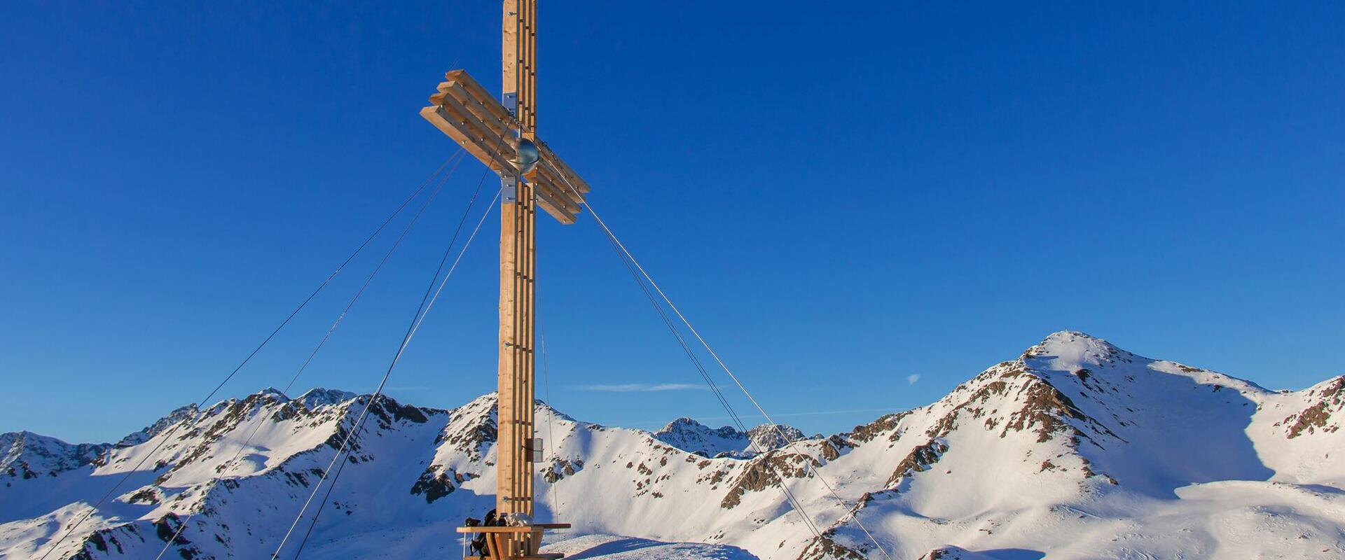
  • gipfelkreuz-hohe-mann-tg-gsiesertal-kamilla-photography
  • Summit cross on the Gailspitze overlooking the surrounding mountain landscape
A little closer to the sky

Summit Hikes in Gsiesertal Valley-Welsberg-Taisten

Peaks worth earning.

If you're looking to venture higher, Gsiesertal Valley-Welsberg-Taisten offers mountain hikes and summit routes with varying levels of difficulty. The hike to Lutterkopf and Durakopf is among the easier to moderately challenging options, while routes to Rudlhorn or Schwarzsee Lake and onwards to Hochkreuz Peak are considerably more demanding.
The trails lead through woodland and alpine pastures into higher, sometimes rugged mountain terrain. Depending on the route, you'll need a good level of fitness, sure-footedness and mountain hiking experience.

In the route overview, you'll find mountain hikes and summit routes with details of elevation gain, walking time, difficulty and starting point. This makes it easier to compare routes and choose one that matches your experience and fitness level.

Find the right mountain hike for you
Mountain hike: To the lake Schwarzsee and mountain Hochkreuzspitze (2455 m/2739 m)
distance 17.1 km
divider
time 6:2 h
divider
elevation 1424 hm
open Open
Hard
Mountain hike: To the lake Schwarzsee and mountain Hochkreuzspitze (2455 m/2739 m)
starting-point
Starting point: Gsiesertal Valley – St. Magdalena, Head of the Valley
ending-point
Arrival point: Gsiesertal Valley – St. Magdalena, Head of the Valley
Mountain hike: Bonner Höhenweg and Toblacher Pfannhorn (2663 m)
distance 24.5 km
divider
time 8:13 h
divider
elevation 1682 hm
open Open
Hard
Mountain hike: Bonner Höhenweg and Toblacher Pfannhorn (2663 m)
starting-point
Starting point: Gsiesertal Valley – St. Magdalena, Head of the valley
ending-point
Arrival point: Gsiesertal Valley – St. Magdalena, Head of the valley
Mountain hike: Gsieser Törl in the Gsiesertal Valley (2205 m)
distance 17.9 km
divider
time 5:44 h
divider
elevation 1010 hm
open Open
Medium
Mountain hike: Gsieser Törl in the Gsiesertal Valley (2205 m)
starting-point
Starting point: Gsiesertal Valley – St. Magdalena, Head of the valley
ending-point
Arrival point: Gsiesertal Valley – St. Magdalena, Head of the valley
Mountain hike: Alpini Steig trail in the Gsiesertal Valley
distance 22.4 km
divider
time 7:57 h
divider
elevation 1892 hm
open Open
Hard
Mountain hike: Alpini Steig trail in the Gsiesertal Valley
starting-point
Starting point: Gsiesertal Valley – St. Magdalena, Head of the valley
ending-point
Arrival point: Gsiesertal Valley – St. Magdalena, Head of the valley
Mountain hike: To the mountain Rudlhorn starting from Taisten (2448 m)
distance 11.2 km
divider
time 3:43 h
divider
elevation 749 hm
open Open
Medium
Mountain hike: To the mountain Rudlhorn starting from Taisten (2448 m)
starting-point
Starting point: Taisten, parking lot above restaurant Mudler
Mountain hike: The lakes Ochsenfelder Seen in the Gsiesertal Valley (2555 m)
distance 23.1 km
divider
time 7:17 h
divider
elevation 1214 hm
open Open
Hard
Mountain hike: The lakes Ochsenfelder Seen in the Gsiesertal Valley (2555 m)
starting-point
Starting point: Gsiesertal Valley – St. Martin, Village Centre
ending-point
Arrival point: Gsiesertal Valley – St. Martin, Village Centre
Mountain hike: Mountain Lutterkopf and Mountain Durakopf in Taisten (2145 m/2275 m)
distance 11.7 km
divider
time 3:30 h
divider
elevation 712 hm
open Open
Medium
Mountain hike: Mountain Lutterkopf and Mountain Durakopf in Taisten (2145 m/2275 m)
starting-point
Starting point: Taisten, parking lot above restaurant Mudler
ending-point
Arrival point: Taisten, parking lot above restaurant Mudler
Mountain hike: Kalksteinjöchl and Gailspitze in the Gsiesertal Valley (2349 m/2494 m)
distance 7.2 km
divider
time 3:9 h
divider
elevation 907 hm
open Open
Light
Mountain hike: Kalksteinjöchl and Gailspitze in the Gsiesertal Valley (2349 m/2494 m)
Summit Hike Across Lutterkopf and Durakopf
distance 10.4 km
divider
time 3:24 h
divider
elevation 637 hm
open Open
Medium
Summit Hike Across Lutterkopf and Durakopf
starting-point
Starting point: Taisten, Parking lot above restaurant Mudler
ending-point
Arrival point: Taisten, Parking lot above restaurant Mudler
Mountain hike: To the mountain Amperspitze starting from Taisten (2687 m)
distance 21.4 km
divider
time 6:59 h
divider
elevation 1313 hm
open Open
Medium
Mountain hike: To the mountain Amperspitze starting from Taisten (2687 m)
starting-point
Starting point: Taisten, parking lot above restaurant Mudler
ending-point
Arrival point: Taisten, parking lot above restaurant Mudler
Mountain hike: To the mountain Riepenspitze in the Gsiesertal Valley (2774 m)
distance 16.1 km
divider
time 5:45 h
divider
elevation 1388 hm
open Open
Hard
Mountain hike: To the mountain Riepenspitze in the Gsiesertal Valley (2774 m)
starting-point
Starting point: Gsiesertal Valley – St. Magdalena, Head of the Valley
ending-point
Arrival point: Gsiesertal Valley – St. Magdalena, Head of the Valley
Mountain hike: To the mountain Hochstein in the Gsiesertal Valley (2469 m)
distance 15.6 km
divider
time 6:30 h
divider
elevation 1158 hm
open Open
Hard
Mountain hike: To the mountain Hochstein in the Gsiesertal Valley (2469 m)
starting-point
Starting point: Gsiesertal Valley – St. Magdalena, Head of the valley
ending-point
Arrival point: Gsiesertal Valley – St. Magdalena, Head of the valley
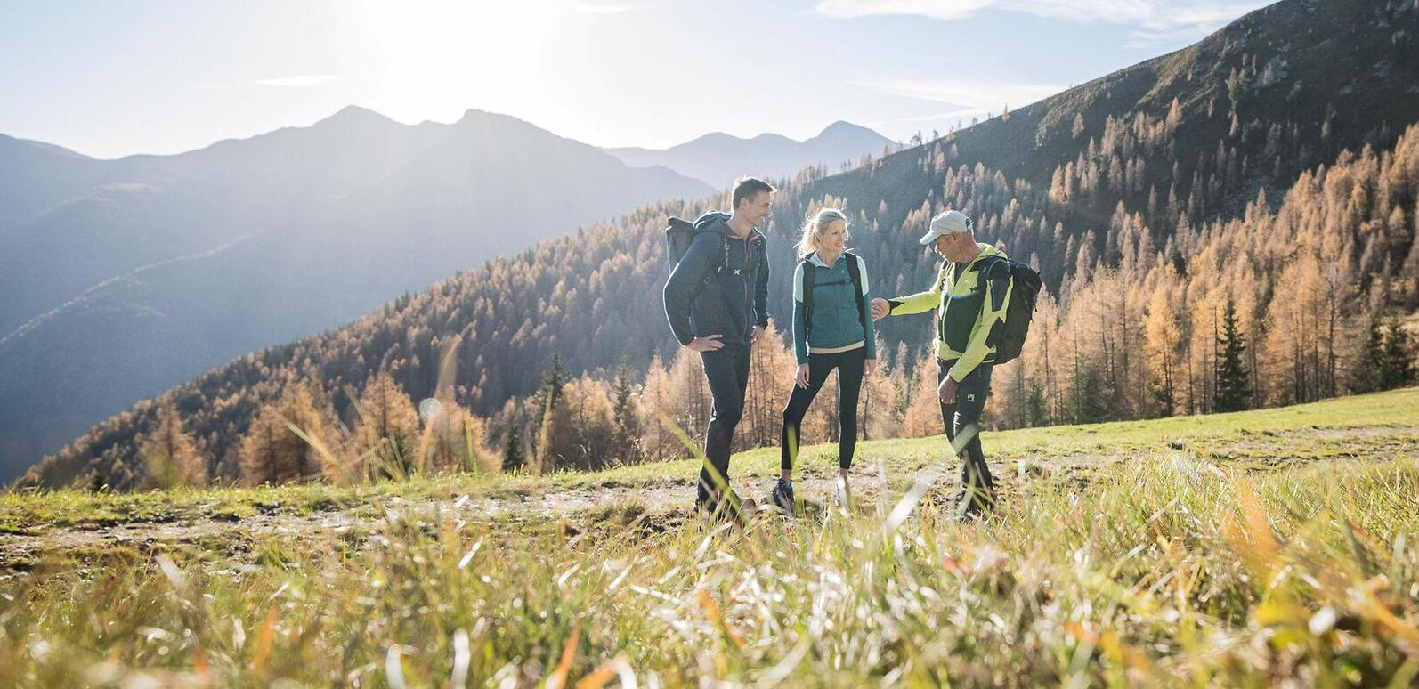
Hiking guide Andreas Reier explains something to two hikers on a forest road, surrounded by orange-coloured trees and autumn mountain scenery.
Explore the mountains together, with confidence
Our Active Programme regularly includes guided mountain hikes. Accompanied by experienced mountain and hiking guides, you can explore selected routes throughout the region.
Preparing for your mountain hike

With the right preparation, your mountain hike can be a safe and rewarding experience in nature.

Mountain hikes take you into higher, sometimes alpine terrain. Before setting off, always check the current trail conditions and the requirements of your chosen route.
  • Consider the difficulty, elevation gain and walking time, and choose a route suited to your fitness level and experience.
  • Pack sturdy mountain boots, protection against cold and wet weather, enough drinks and a first-aid kit. Walking poles can help reduce strain on your knees during longer descents.
  • Check the latest weather forecast before you leave, as conditions can change quickly in the mountains.
  • Let someone know your planned route and expected return time.
  • Follow the mountain safety guidelines and check for any trail closures before your hike.
  • More demanding routes may require sure-footedness and a good head for heights. Always check the specific requirements in the route description.
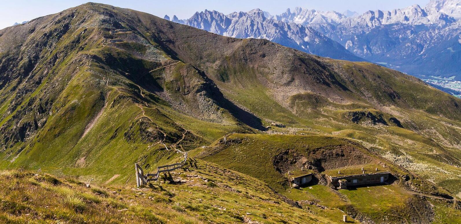
Path across the cols with panoramic mountain views in the background
The best time for mountain hikes
The mountain hiking season generally runs from June to October, depending on snow conditions. Snowfields may remain at higher altitudes in early summer, while early snowfall can affect autumn routes. Always check the latest weather and trail conditions before setting off.
Guests enjoying food and drinks at a wooden table during a summer stop at an alpine hut
Stopping at an alpine hut en route
Some mountain hikes pass alpine huts serving food, either directly along the trail or just a short detour away. They're lovely places to rest on the ascent or descent. Opening times and closing days vary with the season and weather, so check your options before heading out.
heart decoration