Tourism Association Gsiesertal Valley-Welsberg-Taisten in South Tyrol
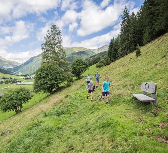
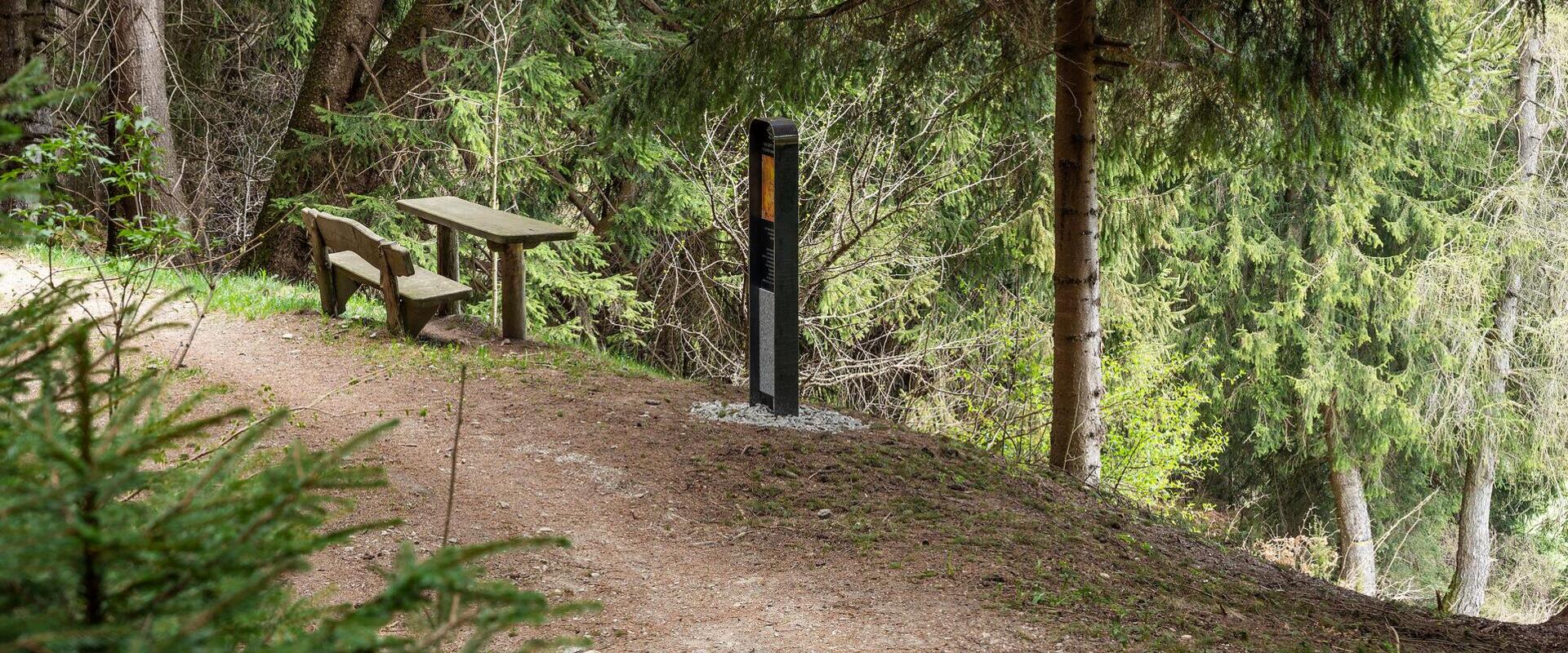
  • Wooden bench and table along the Sr. Agnes Klara Steiner circular trail through the forest
Discover nature, stories and special experiences step by step.

Themed Hikes in Gsiesertal Valley-Welsberg-Taisten

Every trail tells its own story.

The themed trails in Gsiesertal Valley-Welsberg-Taisten combine walking with local history, traditions and fascinating insights into the region. They range from gentle walks along the valley floor to more demanding hikes at higher altitudes.

Along the way, you'll encounter legends and age-old customs, discover more about life and history in the valley, or follow historic routes that cross today's national borders. Here, we introduce three particularly interesting themed trails. You'll find all the others in our hiking route overview.

Three trails to discover, each offering a different perspective on the legends, living traditions and unspoilt mountain landscape of Gsiesertal Valley.
Three themed trails to discover: legends, traditions, mountains
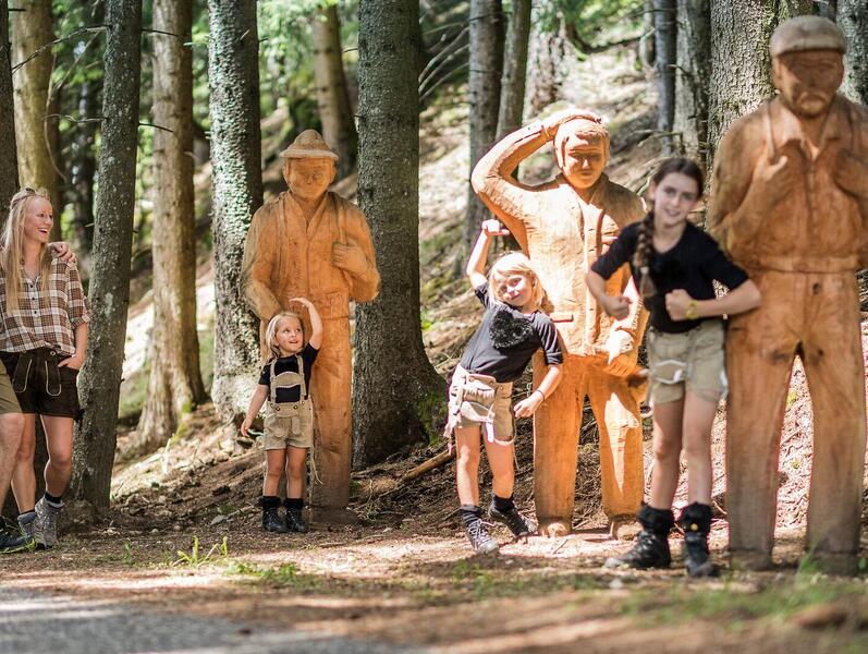
Family exploring the Legends Trail in Taisten
Taisten Legends Trail
Discover mysterious local legends
This circular trail of around 4 km in Taisten takes you into a world of mysterious legends and fascinating local tales. Four stops reveal the village's mythical past, accompanied by wide-ranging views of the Dolomites, a UNESCO World Heritage Site.
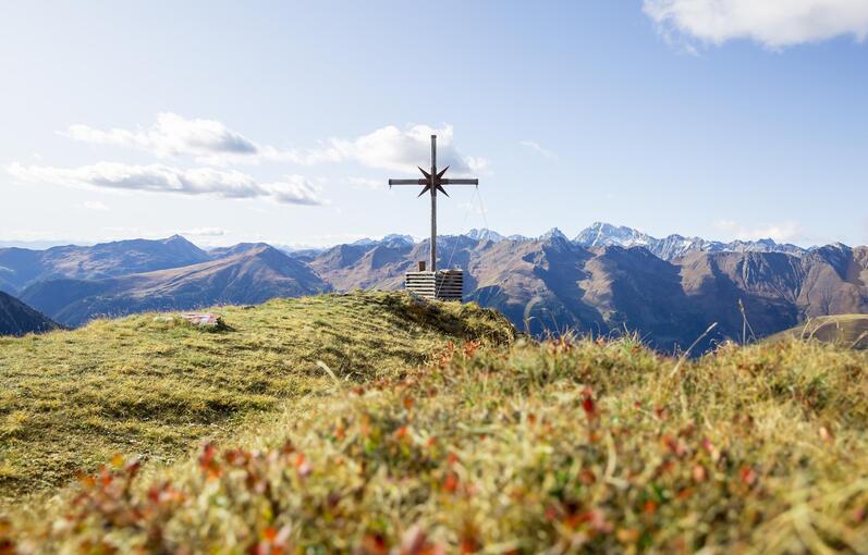
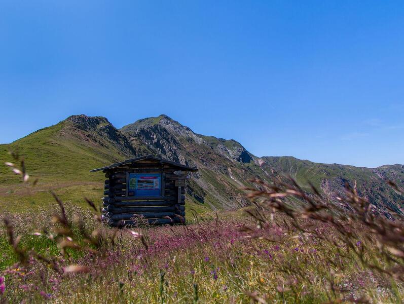
Wooden signpost along the path across the cols with mountain views in the background
Trails across the mountain passes
Following trails beyond borders

Three cross-border educational trails connect Gsiesertal Valley with Villgratental Valley in Austria. Along the way, they tell stories of farming traditions, smugglers and customs passed down through generations, all set against a striking alpine landscape.

→ Customs and Traditions Trail

→ Smugglers' path

→ Alpine Farming Trail

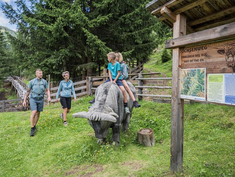
Family at a station along the Way of the Ox, with the children sitting on a wooden ox
Gsiesertal Oxen Trail
Following the story of alpine pasture oxen
This family-friendly circular walk starts at the head of Gsiesertal Valley in St. Magdalena and follows the Talblickweg panoramic trail past farms and local producers. Along the way, a series of stops tell the story of the Gsiesertal alpine pasture oxen and traditional farming life.
Our themed trails at a glance
The Ox Trail in the Gsiesertal Valley
distance 6.4 km
divider
time 2:30 h
divider
elevation 256 hm
Partially open
Light
The Ox Trail in the Gsiesertal Valley
starting-point
Starting point: Gsiesertal Valley – St. Magdalena, Head of the valley
ending-point
Arrival point: Gsiesertal Valley – St. Magdalena, Head of the valley
Historic hike: Kirchsteig path in the Gsiesertal Valley
distance 6.7 km
divider
time 2:18 h
divider
elevation 510 hm
open Open
Medium
Historic hike: Kirchsteig path in the Gsiesertal Valley
starting-point
Starting point: Gsiesertal Valley – Pichl, sports area
ending-point
Arrival point: Toblach – Aufkirchen
The Via Lucis in the Gsiesertal Valley
distance 7.1 km
divider
time 2:6 h
divider
elevation 267 hm
open Open
Light
The Via Lucis in the Gsiesertal Valley
starting-point
Starting point: Gsiesertal Valley – St. Martin, Parish Church
ending-point
Arrival point: Gsiesertal Valley – St. Martin, Parish Church
The path across the cols
distance 9.6 km
divider
time 4:30 h
divider
elevation 870 hm
open Open
Medium
The path across the cols
starting-point
Starting point: Gsiesertal Valley – St. Magdalena, Head of the valley
ending-point
Arrival point: Kalkstein (Austria)
The path across the cols: The Traditions and Customs Path
distance 12.3 km
divider
time 6:0 h
divider
elevation 1200 hm
open Open
Hard
The path across the cols: The Traditions and Customs Path
starting-point
Starting point: Gsiesertal Valley – St. Martin, Village Centre
ending-point
Arrival point: Kalkstein (Austria)
The path across the cols: The Smugglers‘ Path
distance 9.6 km
divider
time 4:30 h
divider
elevation 870 hm
open Open
Medium
The path across the cols: The Smugglers‘ Path
starting-point
Starting point: Gsiesertal Valley – St. Magdalena, Head of the valley
ending-point
Arrival point: Kalkstein (Austria)
The path across the cols: The Cultivating Path
distance 10.4 km
divider
time 3:55 h
divider
elevation 1053 hm
open Open
Hard
The path across the cols: The Cultivating Path
starting-point
Starting point: Gsiesertal Valley – St. Magdalena, Head of the valley
ending-point
Arrival point: Kalkstein (Austria)
Camino de Santiago, stage Innichen - Toblach - Niederdorf - Welsberg
distance 18.0 km
divider
time 4:46 h
divider
elevation 219 hm
open Open
Medium
Camino de Santiago, stage Innichen - Toblach - Niederdorf - Welsberg
starting-point
Starting point: Innichen
ending-point
Arrival point: Welsberg
Camino de Santiago, stage Welsberg – Olang – Nasen – Bruneck
distance 21.3 km
divider
time 5:51 h
divider
elevation 441 hm
open Open
Medium
Camino de Santiago, stage Welsberg – Olang – Nasen – Bruneck
starting-point
Starting point: Welsberg, parish church of St. Margaret
ending-point
Arrival point: Bruneck
The Trail of Legends in Taisten
distance 4.7 km
divider
time 1:24 h
divider
elevation 192 hm
open Open
Light
The Trail of Legends in Taisten
starting-point
Starting point: Taisten, parking lot Unterrainer Straße
ending-point
Arrival point: Taisten, parking lot Unterrainer Straße
Rudlbach Barefoot Trail
distance 2.0 km
divider
time 2:0 h
divider
elevation 122 hm
open Open
Light
Rudlbach Barefoot Trail
starting-point
Starting point: Taisten, parking lot in Wiesen
ending-point
Arrival point: Taisten, parking lot in Wiesen
The Sennersteig trail
distance 6.0 km
divider
time 2:0 h
divider
elevation 410 hm
open Open
Light
The "Sennersteig" trail
Circular hike to the Erasmus Chapel in Taisten
distance 6.7 km
divider
time 1:55 h
divider
elevation 202 hm
open Open
Light
Circular hike to the Erasmus Chapel in Taisten
The Mill-Walk Goala in Welsberg
distance 5.3 km
divider
time 2:0 h
divider
elevation 205 hm
open Open
Light
The Mill-Walk Goala in Welsberg
starting-point
Starting point: Welsberg, tourist office
ending-point
Arrival point: Welsberg, tourist office
On Paul Troger's Traces in Welsberg
distance 5.4 km
divider
time 1:41 h
divider
elevation 268 hm
open Open
Light
On Paul Troger's Traces in Welsberg
starting-point
Starting point: Welsberg, Paul Troger House
ending-point
Arrival point: Welsberg, Paul Troger House
The Tirolersteig trail
distance 14.0 km
divider
time 4:30 h
divider
elevation 850 hm
open Open
Medium
The "Tirolersteig" trail
Circular Path Sr. Agnes Klara Steiner
distance 4.5 km
divider
time 1:30 h
divider
elevation 71 hm
closed Closed
Light
Circular Path Sr. Agnes Klara Steiner
starting-point
Starting point: Taisten, Obermüller House
ending-point
Arrival point: Taisten, Obermüller House
Good to know
Tips for exploring our themed trails

A little preparation makes every walk more enjoyable.

  • Not all themed trails are equally demanding. Short, level walks are suitable for families, while the trails across the mountain passes are challenging mountain hikes. In the route overview, you can filter trails by difficulty, distance and elevation gain.
  • The trails across the mountain passes lead to Kalkstein in Austria. Bring a valid identity document and check the return bus connections in advance.
  • Make use of the Südtirol Guest Pass for free travel on South Tyrol's local public transport network.
  • Check the places to stop for food and refreshments linked in the route descriptions, along with their current opening times.
  • Respect nature, wildlife and working farmland along the way.
heart decoration