Tourism Association Gsiesertal Valley-Welsberg-Taisten in South Tyrol
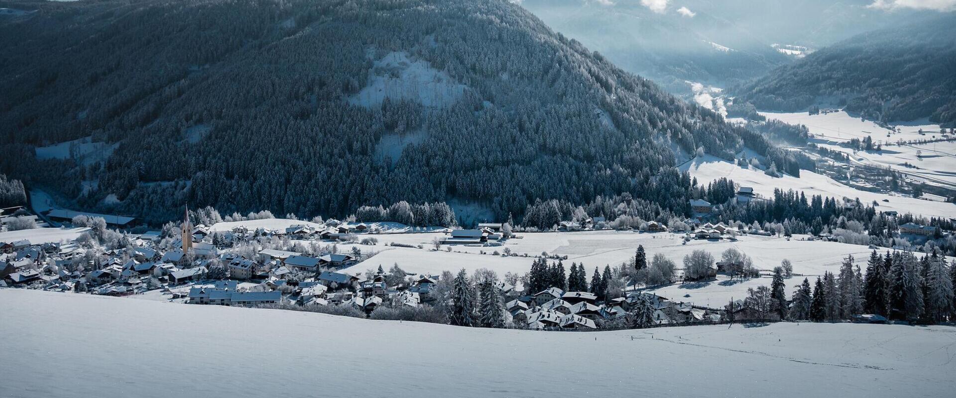
  • Winter view of Taisten with Welsperg Castle, part of Welsberg and snow-covered mountains in the background
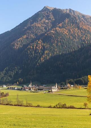
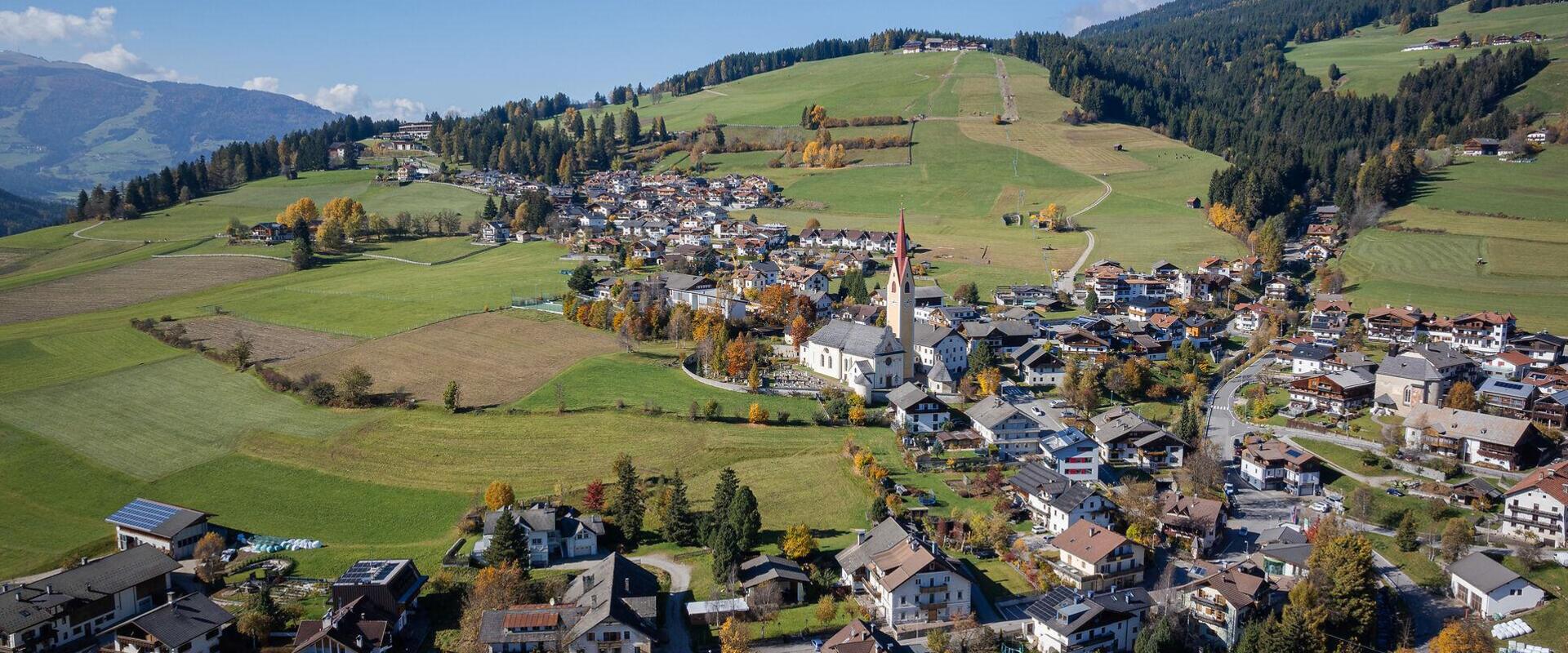
  • Autumn view of the village of Taisten from above
Sunny. Scenic. Deeply rooted.

Taisten in South Tyrol

A sunny village with sweeping views.

Taisten sits on a sunny hillside above Welsberg, at the entrance to Gsiesertal Valley. Meadows, traditional farmhouses and the village's long-established centre shape its character, with wide views across the surrounding mountains.

From Taisten, trails lead to working alpine huts, viewpoints and up into the mountains. In summer, explore the area on foot or by bike. In winter, enjoy cleared winter walking trails or the Guggenberg ski lift. The Gsiesertal Valley cross-country ski trail is also accessible from here, connecting Taisten with Welsberg and Gsiesertal Valley.

Farming, local associations and living traditions remain a natural part of everyday village life. Everything is close together, from the village centre and its farms to the trails leading out into the countryside.
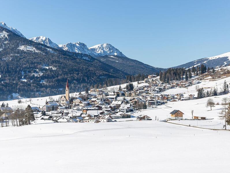
Snow-covered village of Taisten in winter, with the parish church at its centre
Taisten at a glance

Population
around 1,200
Altitude
1,212 m
Location
between Welsberg and Gsiesertal Valley


Here, the mountains are always in view and the trails begin right on your doorstep. Perhaps that's why you find yourself wanting to stay a little longer.

Sights and local highlights in Taisten
open Open
Church of the Poor Clare convent in Taisten on Burgstall Hill
info@gsieser-tal.com
+39 0474 978436
https://www.gsieser-tal.com
Parish Church of Saints Ingenuin and Albuin
open Open
Parish Church of Saints Ingenuin and Albuin
info@gsieser-tal.com
+39 0474 978436
Exercise Park
closed Closed
Exercise Park
info@gsieser-tal.com
+39 0474 978436
https://www.gsieser-tal.com
Gravur Design
closed Closed
Gravur Design
info@gravurdesign.com
+39 327 2084444
https://www.gravurdesign.com
Farm shop Stachabroat
open Open
Farm shop Stachabroat
alexander-stachabroat@outlook.com
+39 340 9 848 836
https://stachabroat.com
AlpenHigh®Seppila Top-quality liqueurs
open Open
AlpenHigh®Seppila Top-quality liqueurs
mail@seppila.com
+39 348 1905518
https://seppila.com
Children's playground, Barefoot trail
open Open
Children's playground, Barefoot trail
info@gsieser-tal.com
+39 0474 978436
https://www.gsieser-tal.com
Church of St. George
open Open
Church of St. George
info@gsieser-tal.com
+39 0474 978436
http://www.gsieser-tal.com
Outdoor activities around Taisten
Discover what you can do outdoors. Find something that feels just right for you.
25 Results
open
open
filter Filters
1
25 Results
Lutterkopf
closed Closed
distance 11.0 km
divider
time 3:30 h
divider
elevation 700 hm
Light
Ski Tour: Mountain Lutterkopf and Mountain Durakopf in Taisten
starting-point
Starting point: Taisten, parking lot above the Mudler Hof restaurant
ending-point
Arrival point: Taisten, parking lot above the Mudler Hof restaurant
Connection Tesido to Val Casies Valley track
closed Closed
distance 2.0 km
divider
elevation 23 hm
Light
02 Connection Tesido – Gsiesertal Valley cross country track
starting-point
Starting point: Taisten, village
ending-point
Arrival point: Taisten, Brückenwirt
Cross country ski track Val Casies Valley
closed Closed
distance 34.0 km
divider
elevation 434 hm
Light
01 Gsiesertal Valley Cross-Country Trail
starting-point
Starting point: Welsberg
ending-point
Arrival point: Welsberg
Snow shoe hike
closed Closed
distance 8.7 km
divider
time 2:10 h
divider
elevation 315 hm
Light
Snowshoe Tour: Along the Taistner Unterrain
starting-point
Starting point: Taisten, Hotel Alpen Tesitin
ending-point
Arrival point: Taisten, Hotel Alpen Tesitin
Cross-country skiing in snow-covered mountains
closed Closed
distance 11.0 km
divider
time 3:37 h
divider
elevation 712 hm
Medium
Snowshoe Tour: Mountain Lutterkopf and Mountain Durakopf in Taisten
Cycling path in Val Casies Valley
closed Closed
distance 18.2 km
divider
elevation 425 hm
Medium
01 Bike route Gsiesertal Valley
starting-point
Starting point: Welsberg, Main Square
ending-point
Arrival point: Welsberg, Main Square
©TV Gsieser Tal_Harald Wisthaler
open Open
distance 16.0 km
divider
elevation 416 hm
Hard
Running Trail: Unterrainer hill in Taisten
starting-point
Starting point: Welsberg, Tourist information office
ending-point
Arrival point: Welsberg, Tourist information office
« ‹ 1 2 3 › » 25 items on 3 pages, displayed items 19-25
At the heart of village life in Taisten
Guests enjoying food and drinks at a wooden table during a summer stop at an alpine hut
Food & drink
From village inns to alpine huts serving food, around Taisten you'll find regional dishes and welcoming places to stop for a meal, take a break and enjoy the peaceful surroundings.
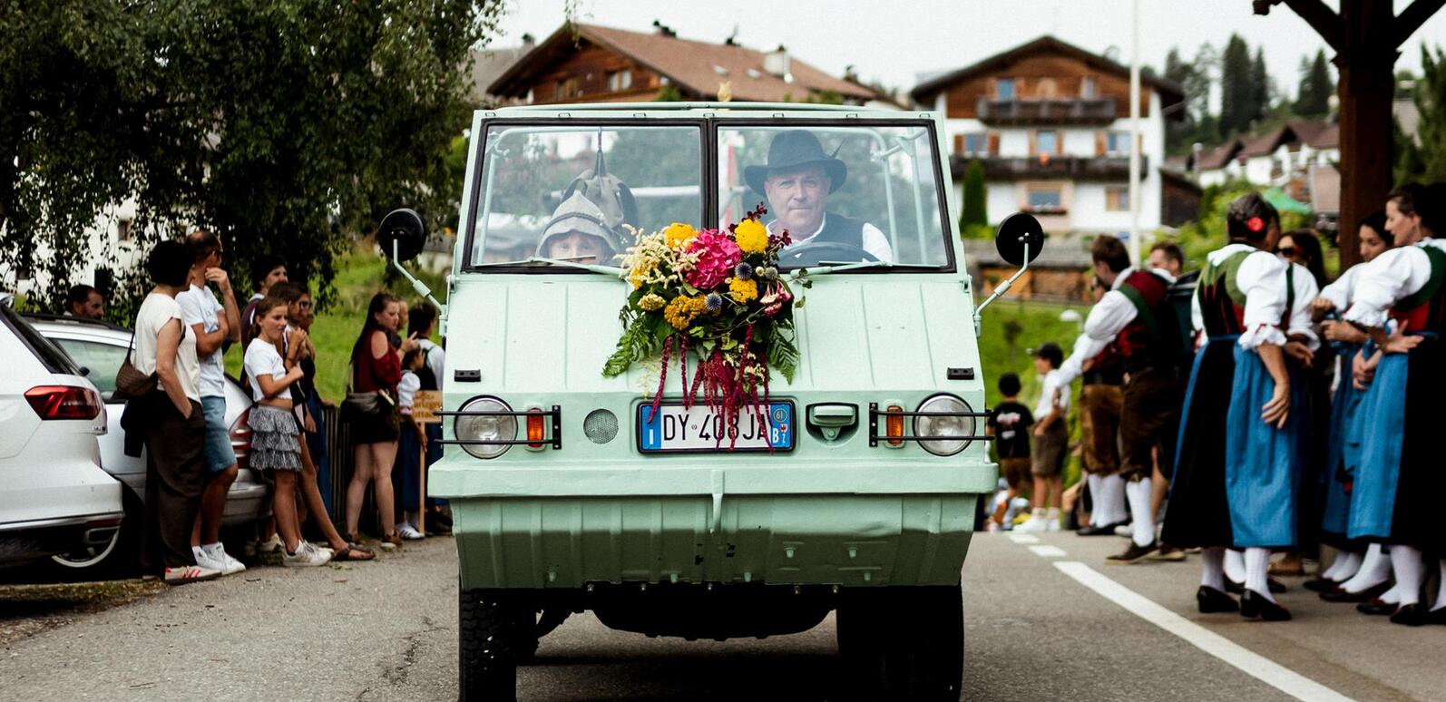
Parade float at the 2026 village festival in Taisten
What's on
Village life is often at its best when people come together. Discover festivals, events and special occasions taking place in Taisten and experience the village's welcoming atmosphere for yourself.
Explore the neighbouring villages
Discover more of the region
From Taisten, Welsberg and Gsiesertal Valley are just a short distance away, yet each place has a character all of its own.
herbst-tg-gsiesertal-kamilla-photography-2[2]
Gsiesertal Valley
Discover more
heart decoration