Tourism Association Gsiesertal Valley-Welsberg-Taisten in South Tyrol
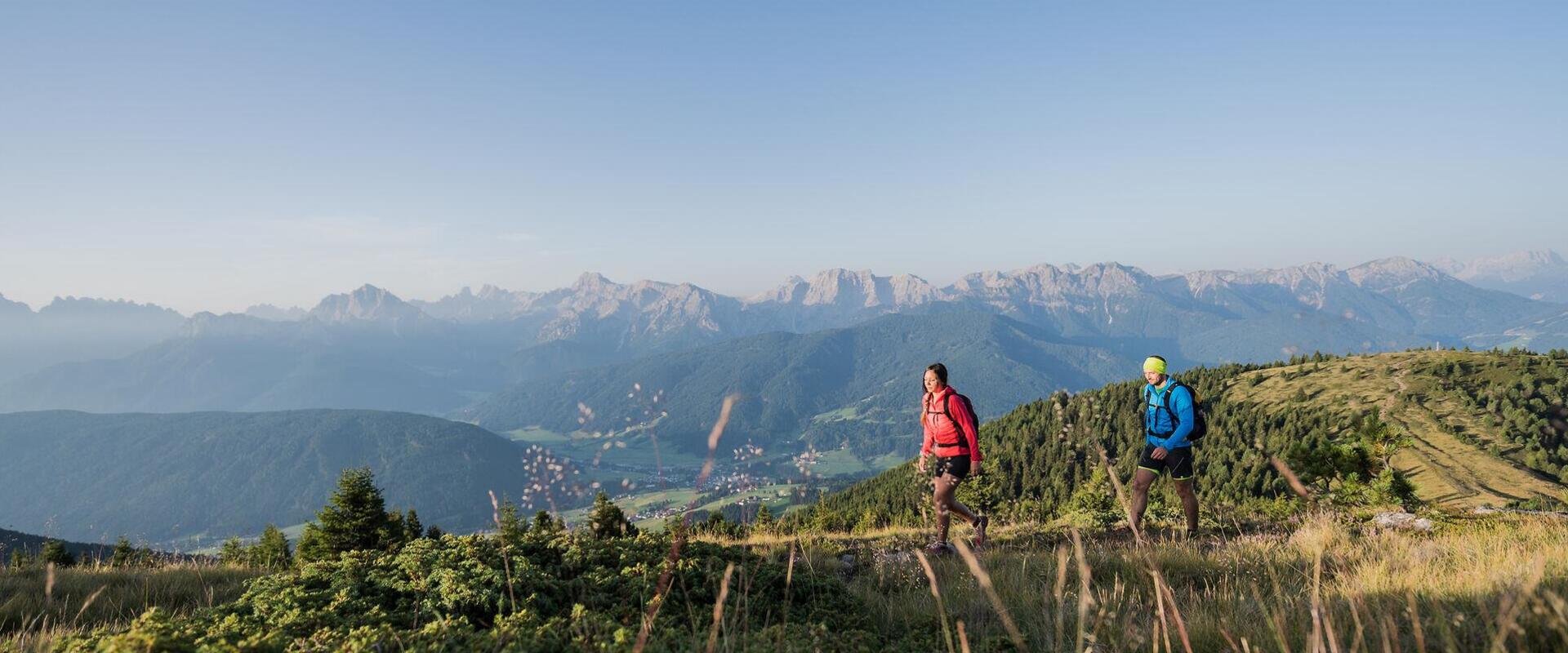
  • Two hikers on the Lutter Durakopf in Taisten, surrounded by mountain scenery
Varied landscapes and the soothing quiet of nature.

Hiking in Gsiesertal Valley-Welsberg-Taisten

More than 60 hiking trails – from gentle valley paths to the summit of the Riepenspitze (2,774 m).

In Gsiesertal Valley, Welsberg and Taisten, you'll find over 60 hiking routes of varying lengths and difficulty levels. They range from gentle walks, such as the Talblickweg panoramic trail, to more demanding mountain hikes to Schwarzsee Lake and Hochkreuz Peak or the Riepenspitze (2,774 m), one of the highest peak on the eastern ridge of Gsiesertal Valley, with sweeping views of the surrounding mountains and the Dolomites beyond.

Between the valley floor and the high peaks, woodlands, meadows and wide alpine pastures shape the landscape. Themed trails make hiking in Gsiesertal Valley-Welsberg-Taisten wonderfully varied.

Along the way, traditional alpine huts serving food and refreshments offer welcoming places to stop. Sometimes a hut is the destination itself; sometimes it's a place to pause before continuing, perhaps along the Almweg 2000 trail, or onwards towards a summit.

In the hiking route overview, you can filter by category, difficulty, distance and starting point to find the walk or hike that suits your day.

Find your perfect hike
60 Results
open
open
filter Filters
60 Results
Wandern Sommer 2019 ©TV Gsieser Tal_Harald Wisthaler_3378
open Open
distance 24.1 km
divider
time 8:7 h
divider
elevation 1666 hm
Hard
Long-distance hiking trail: Bonner Höhenweg and Toblacher Pfannhorn 2663 m
starting-point
Starting point: Gsiesertal Valley – St. Magdalena, Head of the valley
ending-point
Arrival point: Gsiesertal Valley – St. Magdalena, Head of the valley
Hochkreuz Sommer 2019 ©TG Gsiesertal_Harald Wisthaler
open Open
distance 21.9 km
divider
time 7:49 h
divider
elevation 1876 hm
Hard
Long-distance hiking trail: Alpini Steig in the Gsiesertal Valley
starting-point
Starting point: Gsiesertal Valley – St. Magdalena, Head of the valley
ending-point
Arrival point: Gsiesertal Valley – St. Magdalena, Head of the valley
Wandern Sommer 2019 ©TG Gsiesertal-Welsberg-Taisten - Harald Wisthaler
open Open
distance 17.4 km
divider
time 6:1 h
divider
elevation 1332 hm
Medium
Long-distance hiking trail: Circular hiking trail along the borders in the Gsiesertal Valley
starting-point
Starting point: Gsiesertal Valley – St. Magdalena, Head of the valley
ending-point
Arrival point: Gsiesertal Valley – St. Magdalena, Head of the valley
Sennersteig
open Open
distance 6.0 km
divider
time 2:0 h
divider
elevation 410 hm
Light
The "Sennersteig" trail
Interior of a monastery chapel
open Open
distance 6.7 km
divider
time 1:55 h
divider
elevation 202 hm
Light
Circular hike to the Erasmus Chapel in Taisten
Glowing heart on mountain
open Open
distance 14.0 km
divider
time 4:30 h
divider
elevation 850 hm
Medium
The "Tirolersteig" trail
« ‹ 1 2 3 4 5 6 7 › » 60 items on 7 pages, displayed items 55-60

Hiking throughout the seasons

In Gsiesertal Valley-Welsberg-Taisten, hiking changes with the seasons. In spring and autumn, many trails lead through the valley and across sunny hillsides. Summer is the time to head up to alpine pastures and mountain summits. In winter, dedicated winter walking trails and snowshoe hikes take centre stage.
→ Discover snowshoeing and winter hiking


Everything you need for your hike

Guided hikes
Explore the region in the company of our local hiking guides.
→ Active Programme


Alpine huts and mountain refuges
Opening times and places to stop for food and refreshments along your route.
→ Alpine huts and mountain refuges


Getting here & South Tyrol Guest Pass
Many hiking starting points can be reached by public transport. If you're staying with a participating accommodation provider, you'll receive the South Tyrol Guest Pass, giving you free access to South Tyrol's local public transport network.
→ Südtirol Guest Pass

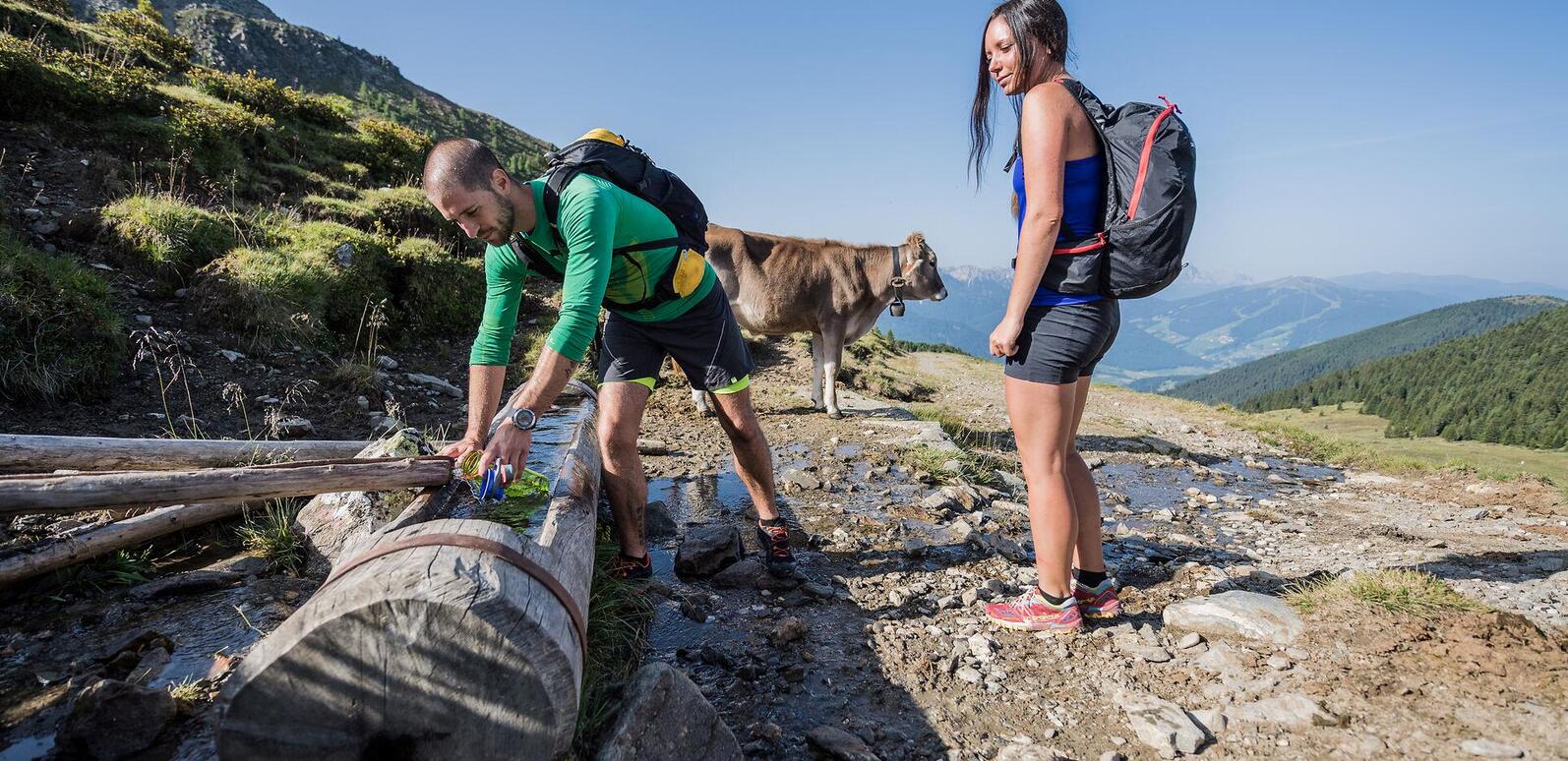
Hiking couple at a water trough, with a cow and mountain views in the alpine area around Lutterkopf and Durakopf near Taisten in summer.
Hiking safely and respecting nature

When hiking in Gsiesertal Valley-Welsberg-Taisten, you're exploring a precious natural landscape that is home to wildlife and plant life. Following a few simple guidelines helps protect nature, animals and plants, while keeping you safer on the trails too.

Respecting nature

  • Stay on marked paths and trails.
  • Do not pick flowers, berries, mushrooms or other plants.
  • Keep a safe distance from young animals and their mothers.
  • Take all your rubbish back down to the valley.
  • Enjoy the high-quality drinking water from our natural springs.

Plan ahead, hike safely

  • Before setting off, check the route's distance and difficulty and the latest weather forecast.
  • Let your family or accommodation provider know your planned route and expected return time.
  • Take plenty of water or warm drinks, a first-aid kit, sturdy footwear and protection against cold and rain. Choose your equipment to suit the route. Walking poles can be particularly helpful on longer mountain hikes and steep sections.
  • Follow the local regulations on wild camping and lighting fires outdoors.

Hiking with your dog

  • Keep your dog on a lead, especially near wildlife and grazing animals.
  • Pick up after your dog and dispose of waste in the designated bins down in the valley.
heart decoration